Projects

Aerial view of a major urban transportation interchange

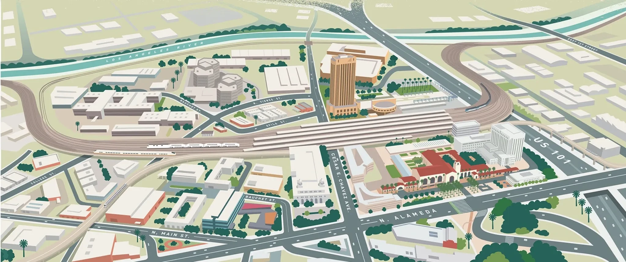
LA Metro Link Union Station (Link US)

Los Angeles Union Station (LAUS) is Southern California's primary transportation hub, connecting multiple counties with a combined population exceeding 20 million people. By 2040, over 200,000 passenger trips through LAUS each weekday are expected to occur.
Aerial view of a stormwater treatment wetlands park

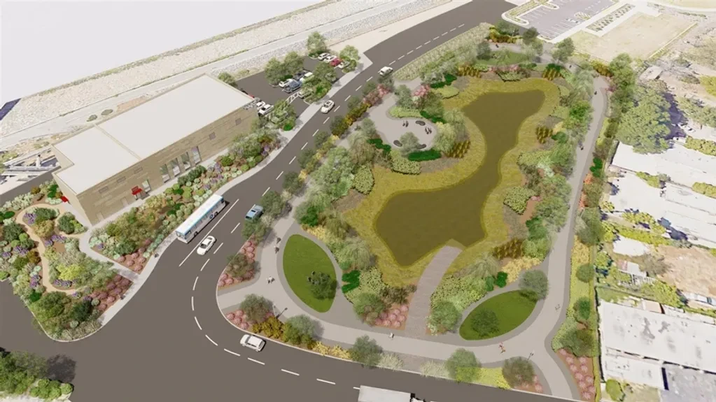
Long Beach Municipal Urban Stormwater Treatment (LB-MUST)

Project will be designed to divert and treat polluted stormwater runoff prior to entering the Los Angeles River, or reuse as alternative water source. Diverted water will be treated at the LB-MUST facility. Portions of the treated water will sustain vegetation in the wetlands.

Train maintenance facility rail yard aerial view

Metrolink Central Maintenance Facility Noise & Vibration Study

Long-term and short-term noise and vibration measurements to identify the sensitive receiver locations where existing CMF noise and vibration levels exceed the Federal Transit Authority (FTA) noise and vibration criteria by comparing the measured levels with the FTA thresholds.

Aerial view of a multi-lane freeway interchange in Southern California

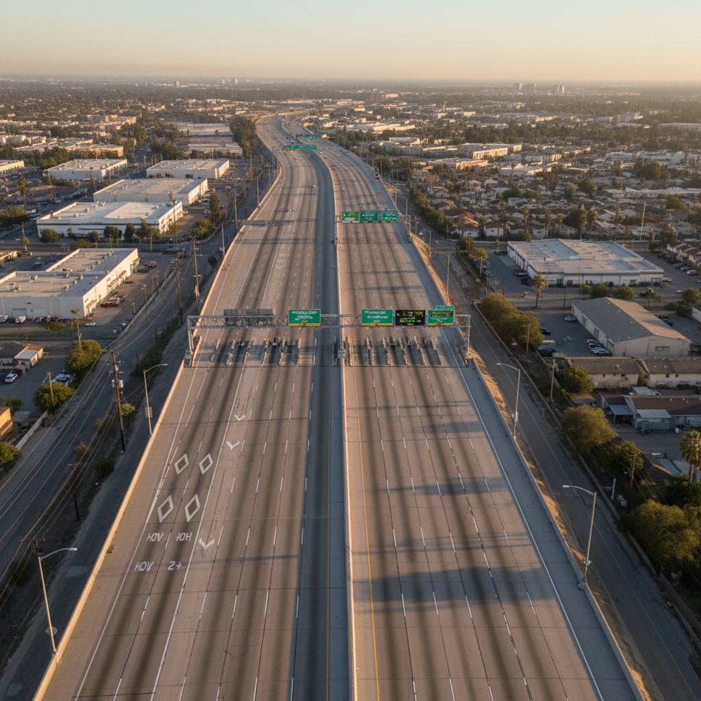
LA Metro I-405 Expresslanes

Project Approval and Environmental Document (PA/ED) and Concept of Operations (ConOps) for the potential implementation of ExpressLanes on I-405 Sepulveda Pass between I-10 and US-101. Focus on hydraulics design and developing the water quality elements into the Stormwater Data Report, Multi-model Study, and Highway Planting Concepts.

3D city map illustration for transportation planning

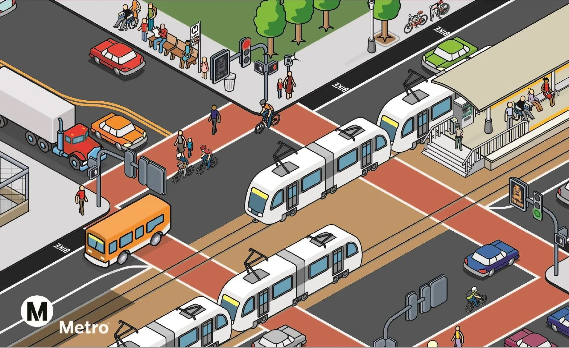
LA Metro Long Range Transportation Plan (LRTP) Scenario Modeling

Developed visualizations to assist in presenting the Long Range Transportation Plan (LRTP) policy recommendations. Provided draft and final visualizations of discrete policy elements, primarily focused on presenting data on travel mode shifts and/or transit ridership changes associated with LRTP policies.

Cyclist using a dedicated bike lane in an urban streetscape

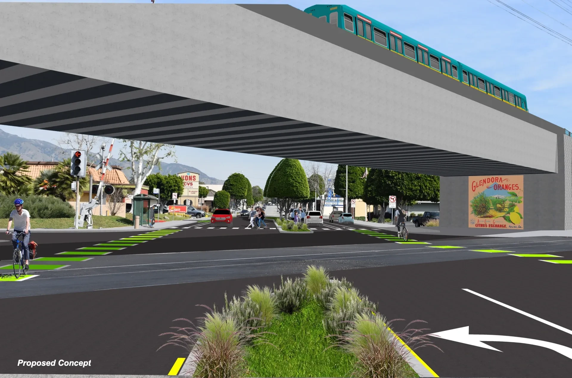
City of Glendora — Active Transportation Program (ATP) Grant Funding Application

Coordinated and submitted two California Transportation Commission (CTC) grant applications for the City of Glendora for their LA Metro Gold Line First/Last Mile improvements.

Aerial view of Los Angeles freeway congestion and urban traffic

LA Metro Congestion Pricing Feasibility Study (PS62790)

Supported WSP's detailed assessment of four revised Congestion Pricing Concepts for LA Metro, leading to selection of a preferred concept. Provided input on performance evaluation of alternatives, including data collection and cost estimates for toll-related infrastructure. Contributed to high-level design assumptions, initial toll-zone pricing concepts, and review of the Preferred Congestion Pricing Option documentation. (December 2019 – July 2021)

Palm tree-lined boulevard with pedestrian and bike infrastructure in Southern California

City of Artesia — Active Transportation Program (ATP) Grant Funding Application

Coordinated and submitted a California Transportation Commission (CTC) Active Transportation Program grant application for the City of Artesia. The project focused on improving pedestrian and bicycle infrastructure to enhance first/last mile connectivity and safe routes for residents throughout the city.

Aerial view of I-105 freeway express lanes corridor in Los Angeles County

LA Metro I-105 ExpressLanes — Final Design Plans, Specifications & Estimates (PS&E)

Subcontractor to WSP supporting final design PS&E for the I-105 Express Lane corridor improvements between Sepulveda Boulevard in Los Angeles and Studebaker Road in Norwalk, traversing ten cities across Los Angeles County. Scope includes Storm Water Data Report (SWDR) and Temporary Water Pollution Control (TWPC) Plans for Segments 2 and 3, permanent and temporary BMP design, quantities, unit prices, and specifications for 65%, 95%, and 100% PS&E submittals. Also includes Risk Register and Risk Management support, and Design Support During Construction (DSDC) as requested by WSP.

Aerial view of a pedestrian and bicycle bridge over a railroad corridor near Griffith Park in Glendale California

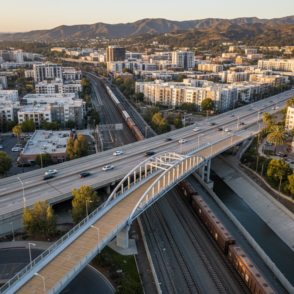
City of Glendale — Doran Street Active Transportation Project (ATP Cycle 8)

Coordinated and submitted a California Transportation Commission (CTC) Active Transportation Program Cycle 8 grant application for the City of Glendale. The project constructs a 203-foot pre-fabricated bridge with access ramps and a Class I shared-use bike and pedestrian path over San Fernando Road and SCRRA/UPRR railroad tracks — one of the most dangerous railroad intersections in LA County with up to 82 trains per day. Located along the Glendale/Los Angeles border near SR-134 and Griffith Park, the bridge ensures continued non-motorized access for disadvantaged communities when Metro permanently closes the Doran Street at-grade crossing, preventing over a mile of added travel for pedestrians and cyclists connecting to the North Atwater employment area.

At-grade railroad crossing with pedestrian and bike safety improvements in Pomona California

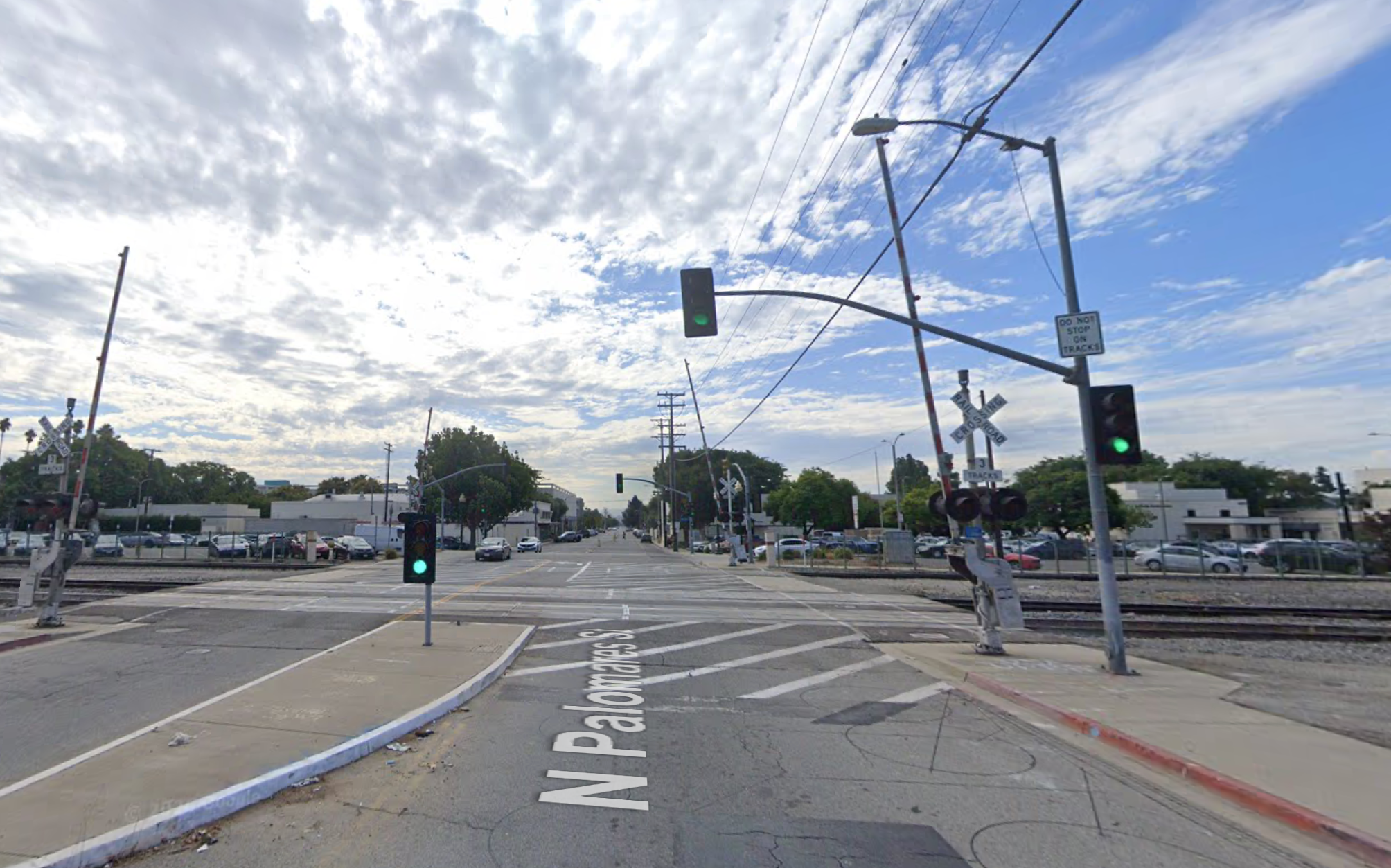
City of Pomona — Reconnecting Pomona: At-Grade Railroad Crossing & Ped/Bike Safety Improvements (ATP Cycle 7)

Score: 97.5 / 100#1 in LA County#4 Statewide$20.162M Award

Coordinated and submitted a California Transportation Commission (CTC) Active Transportation Program Cycle 7 grant application on behalf of the City of Pomona — earning a score of 97.5 out of 100, the top-rated application in Los Angeles County and the fourth highest score statewide, securing a $20.162 million award. The project addresses a critical railroad barrier dividing the city's northern and southern segments at Main Street and Palomares Street. Improvements include Class 2 bike lanes with raised concrete buffers, Class 3 bike routes with sharrows, new crosswalks adjacent to at-grade crossings, pedestrian swing gates, widened and reconstructed sidewalks, updated ADA ramps, landscaping, and wayfinding signage — all connecting Holt Avenue to Mission Boulevard.

Copyright © 2026 OhanaVets, Inc. - All Rights Reserved.